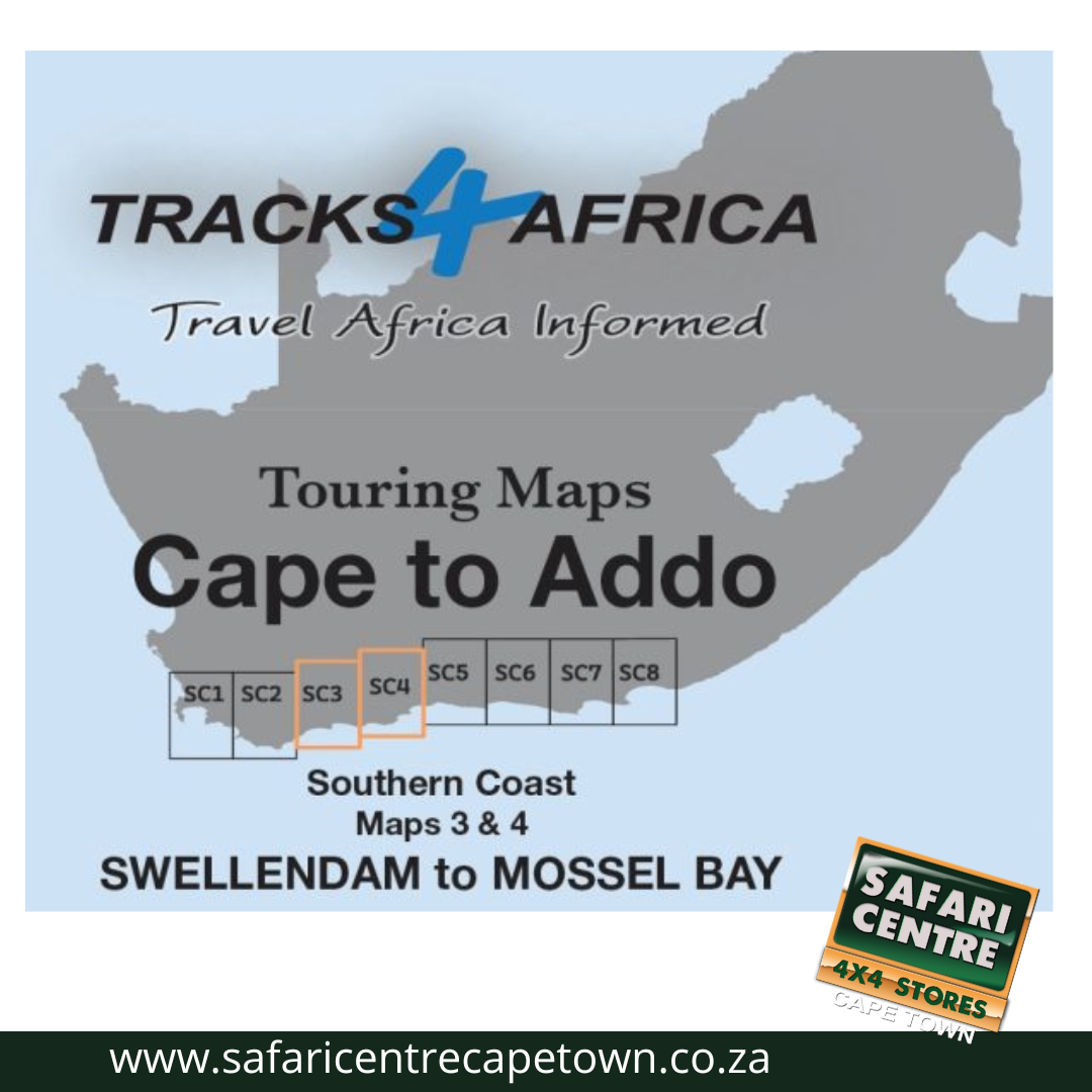
Description
As the name suggests, these two maps, printed on either side of a single sheet of Duraflex paper, stretch from Swellendam in the west to Mossel Bay and Oudtshoorn in the east. The coastline forms the southern boundary and to the north it includes places like Anysberg reserve, parts of the N1 highway and Prince Albert town.